Cycle route 3
 47,9 km
 2h 55min
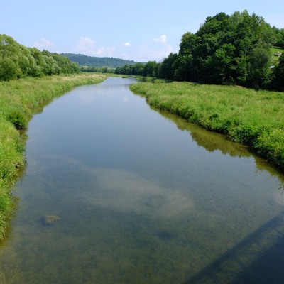
The route is quite difficult It is mainly caused by one hard, long, mostly asphalt road up to Jawor Hill. At a distance of 4 kilometres we face with almost 300 meters altitude difference. Before this part you can warm up going up along two shorter, asphalts stretches of the road : under the Żukowa range and under the pass between Łobozewo and Teleśnica. Exhaustion after this difficulties will be compensated by going down the road which parts look like their mirror reflections. The attractive, 4-kilometre field section between the Teleśnica Bay and the Jawor Peninsula is also worth mentioning. Going along Solinske Lake banks, we cross the ravines of 5 streams flowing down the slope of Jawor Mountain to the lake. This part, requires some concentration because of the lack of clear signs. After long, heavy rains there may occur mud that makes this part much more difficult. On hot days the wild beaches encourage bathing. At the the Municipal Office of Olszanica we take the road no. 84 to the east going slightly up the valley of the Stary Potok. We pass the buildings of Stefkowa village and we reach Ustjanowa Dolna. We get off the main communication arterial here and turn to the south into the local road leading to the village of Łobozew. This trail runs across the range of Żukowa - it rises on the northern slope, passes through the ridge and goes down on the south slope to the valley of the Łoboźnica river. We finish at the place called Pastewnik. We continue going to the south. At the beginning it goes slightly upwards by Łobozew Górny, then goes down under the ridge connecting the massif of Jawor and Żukowo Mountain. We cross the pass 537 m. a.s.l. and go down to the village of Teleśnica Oszwarowa. At the beginning we turn to the west and go by paved roads, initially down the Daszówka stream, then along the right bank of the Teleśnicka Bay. At the end of the bay we take the north direction. Going along the above-mentioned field - bank section we reach the Jawor military resort located on this peninsula. There is an extensive asphalt uphill road. At the bottom of the road it is moderated by four switchbacks. Going up higher it is much more difficult but you can enjoy the beautiful views of the lake. We leave the top with the cell phone tower on the right-hand side and then there is a long, winding downhill slope to the right bank of Solina. Using a busy promenade on the dam in Solina, we cross the road No. 895. We go down the switchback to the bottom of the dam, then overcoming the massif of Żukowiec, we reach the village of Bóbrka. We get off the busy road and the local road leading along the east bank of the Myczkowieckie Lake and at the foot of the Kozińca massif, we reach the Myczkowce resort. Next, suffering a bit on the pre-war cobblestones, overcoming the the Myczkowieckie Rocks , we go through Podkamionka village to Uherce Mineralne. At this point we return to the road no. 84 and going east, along the edge of the Uherce valley, we return to Olszanica to the place where we started the route.
Route on the map
Modern tools to support the development of tourism for small tourist destinations in Poland (commune Olszanica) and Slovakia (period Svidnik). Microprojekt no .: INT/EK/KAR/1/I/A/0007