Cycle route 4
 48,3km
 3h 10min
The route is a bit difficult. At the beginning of the tour we face a5 km long, quasi-asphalt uphill roadto the highest pointofthemassif of Żukow - Holica. Stronglypressing on the pedals, we will overcome the 300-meteraltitude difference. From Holica we go down along awide road in the forest,leading down onthe northern slope of Żukow. In the winter it is used asthe route for ski-runners. This part is especially demanding after rains. We finish it in Ustjanowa Górna - the local centre of classic skiing. Other difficulties are on thefield section led by the Równia massif (the uphill roadto the topof Wierch andpassing the ridgepathand thendownhill ski slalom slope onGromadzyń). Farther part of the route, running mostly by local roads, is much more easier. In the village of Łodyna, looking at the respectful, grand slalom route on the slope of Laworta, we have to admit that Ustrzyki Dolne deserves the name of the winter capital of Podkarpacie. There are five wooden orthodox churches on the route and one of great beauty- the unique Orthodox Church in the village of Równia. We go to the east at the Municipal Office in Olszanica. We go down the road No. 84 up the wide valley of Old Potok. Having passed Stefkowa, we reach Ustjanowa Dolna.
We leave the comfortable road here and start the hard part of the route - the local road, winding up the northern slope of the massif of Żukow. We reach the pass under Holica. Here the main route goes through the ridge of Żukow. We continue rising up along the wide fire line on the ridge. In short distance behind the culmination of Holica on the northern slope of Żukowo we face demanding downhill road to Ustjanowa Górna. Here we again choose the eastern azimuth. We go through the asphalt streets next to the old woodwork, then we take the local road through the village of Równia and leave it at the western end of the village of Hoszowczyk. We turn to the north-located massif of Równia. There is a difficult technically field stretch to the top of Wierch, then a pleasant ride along the ridge of the massif to the west, and finally a technically difficult downhill ski slope from Gromadzyń. At the bottom of the ski-lift we go through Naftowa street to the road no. 896 (Fabryczna Street) and go to the east along the road no. 84 (29 Listopada Street) towards border village of Krościenko. Passing the eastern part of Ustrzyki Dolne, after another 2 kilometres, in the village of Brzegi Dolne, we turn to the local road and go north to located at the bottom of Kamienna Laworta massif - Łodyna village. We take direction to the north-west here and go uphill through the village of Dźwiniacz Dolny, on the Dźwiniacka Pass. After crossing the European watershed dividing we go downhill along the asphalt road, down the Serednica stream. We go through the settlements of Romanowa Wola and Serednica to reach Wańkowa. Here we turn to the southwest and go through the pass between Magura and Słonne Mountains, down the Wańkówka stream which flows its water to Olszanica stream . The route ends at the place where it started.
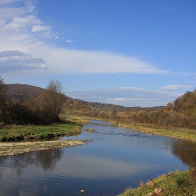
Route on the map
Modern tools to support the development of tourism for small tourist destinations in Poland (commune Olszanica) and Slovakia (period Svidnik). Microprojekt no .: INT/EK/KAR/1/I/A/0007