Cycle route 6
 48,6km
 3h 10min
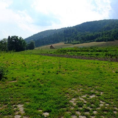
The route is quite difficult. However, it is worth mentioningthat the majority of the most demanding features are cumulated along the first 20 kilometres. The rest of the distanceis just a proverbial piece of cake. LeavingOlszanica we follow the road no. 84 to the west and innearby Uherce Minerale villagewe turn up to the northintoa bithiddentheRudenka Valley. Behind this scenicvillage we facethe first difficulties. That isa short, slightly stiffconcrete-gravel uphill part and then an off-road stretchleading to the asphaltroad in the forest connecting Olszanica and Bezmiechowa. We turn hereto the west and take some reston a gentle downhill part of the route.After a while, at the top of the village of Bezmiechowa, we go at the foot of Kamionka Mountain and can see the challenge that we are supposed to face. The building of the gliding centreis visible on the top of the hill. Difficulties start after passing next 500 metres and it comes to take up the gauntlet . The most demanding part of the route isthe asphalt road to the centre. That is a distance of more than 3 kilometres withthe altitude difference of250 metres. In some points of the road , its gradient and the view of climbing destinationabove the head, can cause thatless determined bikers decideto stopriding a bicycle on the asphalt and walk. The only explanation for this fact canprobably beadmiring flying gliders. At the top of Kamionka mountain there is an opportunity to have a small meal at the restaurant in the hotel for pilots. Then, with a panoramic view of the sky, we turn back following our own trails to the first bend and find marked trails leading to the ridge of the Słonne Mountains. Now we have an interesting single-track along waving in the forest on the tops of the Słonne Mountains ridge. The path is marked very carefully but after rainfall , especially in the springs it can be a bit a survival ride. The most important peaks of the ridge are Słonny 668 m. a.s.l. and Przysłup 658 m a.s.l. l. There are not many interesting views. After passing 7 km we get to the road pass called Przysłup Pass 620 m a.s.l. This pass is crossed by no. 28 road. The recreational part of the route begins here. The scenic with five switchbacks beginning leads downhill on the northern slope of the Słonne Mountains to Tarawa Wołoska. Continue without changing direction on the flat area, follow the road along the valley of the Berezka stream to nearby Rozpucie village. We leave the Przemyśl route, turn to the east, climb up the village and passing the low ridge, we reach the western edge of the next village Zawadka. Now we turn back to the south, we go mostly by paved road , along the Tyrawa stream, we pass the western edge of Stańkowa and reach the village of Rakowa. Then we take the the local road to the west, up the Borsukowiec stream. Rows of the buildings in Rakowa without a clear border turn into Paszowa. Traveling through this village can be enriches by visiting the Orthodox Church. Behind the village there is the uphill ride through the forest, on the watershed dividing pass 456 m a.s.l. and then a convenient downhill part of the route to Wańkowa. At the end turn to the south and follow the Wańkówka stream flowing at the foot of the Magura massif and finally we victoriously come up to Olszanica.
Route on the map
Modern tools to support the development of tourism for small tourist destinations in Poland (commune Olszanica) and Slovakia (period Svidnik). Microprojekt no .: INT/EK/KAR/1/I/A/0007