Cycle route 7
 41,4km
 3h 35min
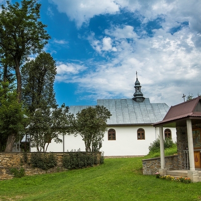
The route is difficult with lots of field sections leading through forest paths and dirt roads. In addition, there are several extremely off-road parts which we have to pass walking and demanding route along the ridge of the Koziniec massif. After the rainfall we can face large areas of long-standing mud, called by local people “maziuga” or “Bieszczady mayonnaise”. On the route there are some breathtaking views especially those from the quarry in Bóbrka on both Bieszczady lakes. The viewing experience will weaken later complaining about the condition of the bike and other equipment. Bikers who don’t like “mayonnaise” are advised to wait a few days after the rain. Warning! The part of the route between Bereżnica Niżna and Zabrodzie is badly marked. Leaving Olszanica we go to the west following no. 84 road to Uherce Mineralne and then we go to the south to the local road through Podkamionka and Zwierzyń and we continue to the hydropower plant. Don’t be misled by this picturesque, recreational start, because the joke is over when we leave Zwierzyń village. In front of us there are the highest wooden peaks surrounding Myczkowskie Lake from the west. We start with the crossroads at the eastern foot of Grodzisko Mountain, then we cross the narrow valley between Grodzisko and Berdo. The mouth of the Bereżnica stream forms a large bay. Coming almost along a counter line we go around the bay to start a demanding off-road stretch which falls down to the lake on the eastern, covered with beech forests, slope of Berdo. Then going through the wide glades we reach the first buildings of Zabrodzie. From here, going on asphalt roads, we reach the the Solina dam, walking through the promenade on the top of the dam, we go to the right bank of Solina and taking local roads through Żukowiec mountain we go down to Bóbrka. Short stretch of the busy road leads us to the foot of the quarry at Koziniec. The biggest challenge of the route is ahead us - a stiff ride up to the pit. It may be necessary to carry a bicycle. But do not let the spirit down, going along the transverse terraces will give you the chance to take a rest and the views will impress you. After reaching the top of the pit, the challenge is quite different - the single-track with natural rock garden leading along the ridge of Koziniec to Myczkowce. For those who are unsure in such riding, it is advised to walk and carry the bike . We go through Myczkowce passing the place for bathing called "under the rock", then over the Myczkowieckie Rocks we turn to the east into Michałowiec massif. We start with the uphill ride with lots of places full of mud “maziuga”. At the top of the massif, we reach the asphalt road which leads us to Orelec. On the way we cross the road No. 895 and start the last dirt road running across the western part of the Żukow massif. Then we go down to situated in it the valley of the Stary Potok and Stefkowa River and taking no. 84 road we go slightly down to the west and finally return to Olszanica.
Route on the map
Modern tools to support the development of tourism for small tourist destinations in Poland (commune Olszanica) and Slovakia (period Svidnik). Microprojekt no .: INT/EK/KAR/1/I/A/0007