Cycle route 1
 44,5 km
 2h 30min
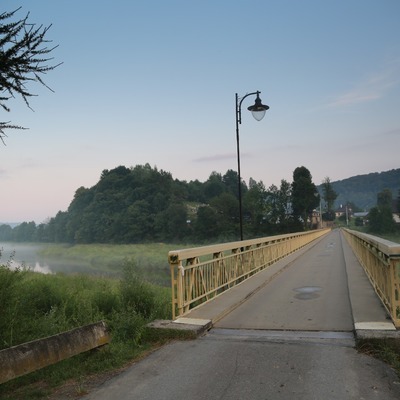
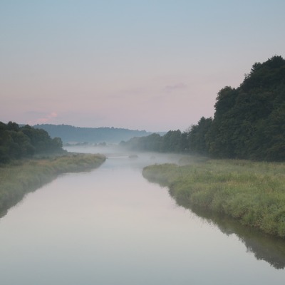
The route is easy, it does not require special conditions, without technical sections. It is easy to orientate. The route leads along the hard –surfaced roads and therefore is completely passable even after heavy rains. The hardest parts are a 300-meter, rigid asphalt road up to the massif of Osonia at 23 km which closes the Łodyna valley and a 4-kilometre gravel route from the Laworta ski station to the 646 m a.s.l. pass. There are two places where we cross the European watershed dividing. The Strwiąż River and streams flowing down to the Strwiąż - Łodyna and Łodynka flow their waters to the Black Sea. In the 16th century the villages located along them were part of the so-called Strwiąska Land. We leave Olszanica and go to the north. We take the local road leading up the valley of the Wańkówka stream. After crossing the narrow isthmus between the eastern outskitr of the Słonne Mountains and the massif of Magura, we go to the east. We go through Wańkowa and then we again take the northern azimuth. The road leads now upstream the Ropienka Stream (side-stream of the Wańkówka). The next settlement on the route is Ropienka village. Having passed the settlement established at the oilfield, we reach the old part of the village at the foot of t Chwaniów. We leave the local road here and turn to the south-east. Then we climb up the chain of rural development. Behind Ropienka, after crossing watershed dividing under Brańcowa, we start going down along the gravel road which runs through the area covered with forests and through the uninhabited valley of the Łodyna stream. Close to the mouth of the valley, the road goes far from the stream, rises on the eastern slope of the massif of Osonia, then goes down to the road no. 84 connecting Ustrzyki Dolne and the border crossing point in Kroscienko. We go along the road to the southwest, then we go up the Strwiąż River. Another village meeting on the route is Brzegi Dolne. Half way down the road, we turn to the north, we take the local road towards the village of Łodyna untill the first buildings then we turn left to the ski resort on the massif of Laworta. At the bottom of the ski lift we change the direction to the west. We go again through the lonely areas. Then we take gravel-concrete road in the forest, traversing the northern slopes of the masiffs of Kamienna Laworta Mountain and Wielki Król, we climb the 646 m a.s.l. pass. It joins the massif of Wielki Król and Ostry Dział. It is an European watershed dividing. After crossing it, we begin a comfortable, long ride down through the valley of the Figura Stream, which belongs to the basin of the Baltic. This part of the route we end in the middle of the village of Stefkowa, next to the wooden church and the mound called “Mogiła Tatarska”. Here we are again on the main communicational artery. We turn to the west and take the road No. 84. We go slightly down, along the Stary Potok stream. After 4 kilometers, we pass the palace complex and the brick orthodox church and we complete the loop next to the Olszanica Commune Office. It is the place where the Stary Potok Stream joins the Wankówka stream giving the beginnig of the Olszanka River
Modern tools to support the development of tourism for small tourist destinations in Poland (commune Olszanica) and Slovakia (period Svidnik). Microprojekt no .: INT/EK/KAR/1/I/A/0007