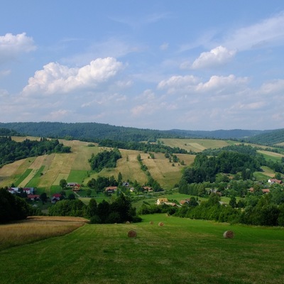
Tour "W lasy masywu Czulni"
 7 km
7 km
 3h
3h
Myczkowce OWR “Caritas” – the Recreation and Rehabilitation Centre - the bridge over the Olszanka River - Myczkowce (Podkamionka) – Zwierzyń (bunker of the defensive fortifications of the "Molotov Line") - yellow walking trail and blue natural path along the bee yard to the fork of the trails - the path following the blue signs through the viewing glade to the green nurseries at the foot of Czulnia - timber yard and the viewing point under Czulnia - green, walking trail through the beech forest to Czulnia (576 m a.s.l. ) - green trail down through the beech forest with some sycamores to the viewing point above Zwierzyń - bunker of the San river fortification - Myczkowce OWR "Caritas" .

Route on the map
Modern tools to support the development of tourism for small tourist destinations in Poland (commune Olszanica) and Slovakia (period Svidnik). Microprojekt no .: INT/EK/KAR/1/I/A/0007